On Foot Along the Old Meeteetse Trail
The route passed through what is now Cody before the town existed. In the 1880s, travelers would have seen only a quiet, sagebrush-covered steppe above the Stinking Water River (now the Shoshone). The only nearby settlement was Marquette, which now lies beneath the waters of Buffalo Bill Reservoir. The trail crossed the Shoshone at Corbett’s Crossing.

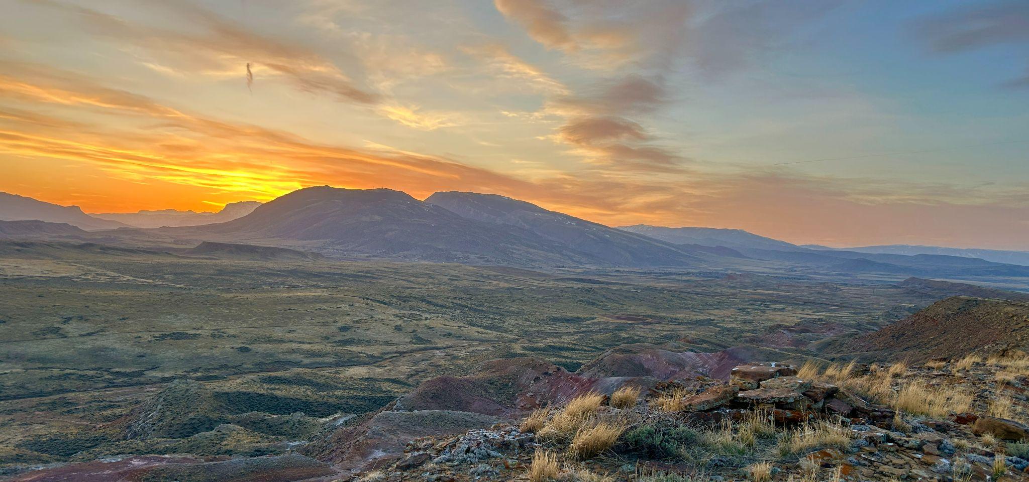
Weathered sandstone formations along the Old Meeteetse Trail
A Prehistoric Route
Part of the Meeteetse Trail followed a much older path along the western edge of the Bighorn Basin. For thousands of years, people migrated from the high country near Sunlight Basin down to the hot springs and hunting grounds along the Shoshone River. From the south, a prehistoric trail was already in use before settlers arrived. In 1873, an expedition from the U.S. Army Corps of Engineers led by William A. Jones passed through the Cody area while scouting for a wagon route between Rawlins and Bozeman. Jones noted that his party followed an Indian trail all the way from Lander to what is now Cody. In 1878, Otto Franc, an early Meeteetse settler, also described Indian trails throughout the Thermopolis region. Locally, traces of the old trail still remain. East of Rattlesnake Mountain near Cody, a creekside trail was so well-worn that early settlers began calling the stream “Trail Creek.” Later, the site known as “Old Trail Town” was named in reference to the historic route through the Cody area.
Modernizing the old trail
By 1886, the trail had been officially named by the postal service and was being improved for freight traffic. At the southern end, Otto Franc had established his Pitchfork Ranch in 1879 and was actively advocating for infrastructure improvements. In 1885, he lobbied the Wyoming Territorial County Commission and business leaders in Billings for funding to build a bridge across the Greybull River, arguing that it would boost regional commerce.
From 1882 to 1889, the trail’s northern terminus was at Coulson, a settlement on the Yellowstone River east of Billings. There, a hotel and stagecoach stop connected with steamboats on the river. When the Northern Pacific Railroad reached Red Lodge in 1889, the trail ended at the new rail terminus. From there, travelers continued south by wagon. Some of Cody’s earliest settlers arrived this way. In 1898, for example, Nels and Christine Nordquist took a train from Illinois to Red Lodge, then traveled by horse and wagon to Cody. That spring, they forded the swollen Shoshone River with wagon loads of farming equipment and household goods, eventually settling at Irma Flat on the South Fork.
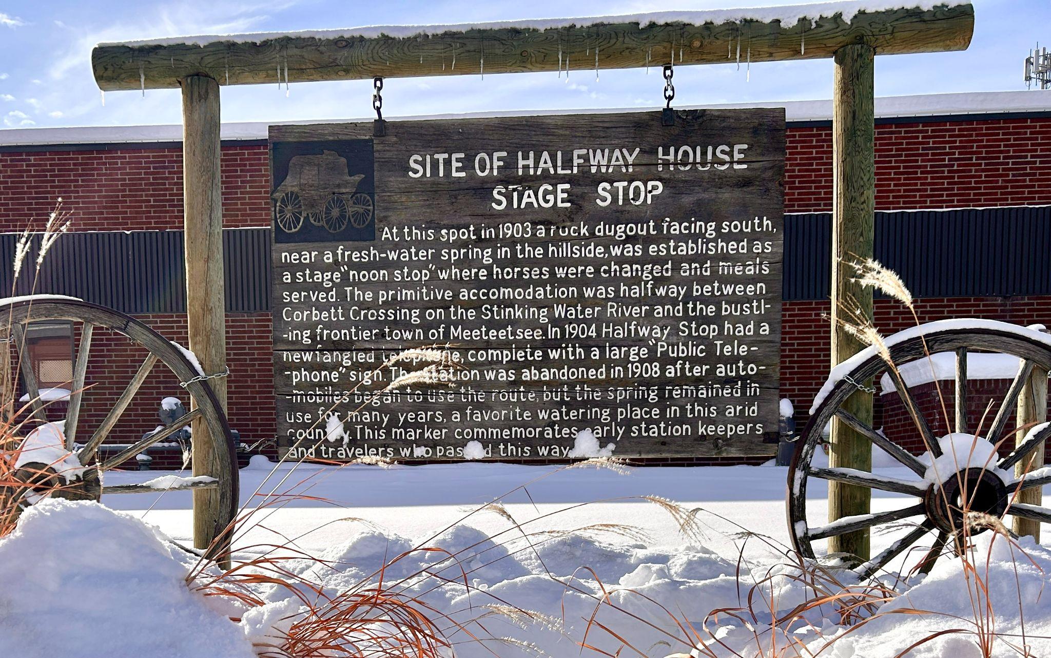
By the turn of the century, the Old Meeteetse Trail had seen continuous improvements and had become known as the Cody-Meeteetse Road. In 1904, the Halfway Stage Stop was established as a rest and water stop for horses about halfway between Corbett’s Crossing and Meeteetse. It remained a popular stop until the rise of automobile travel after 1908.

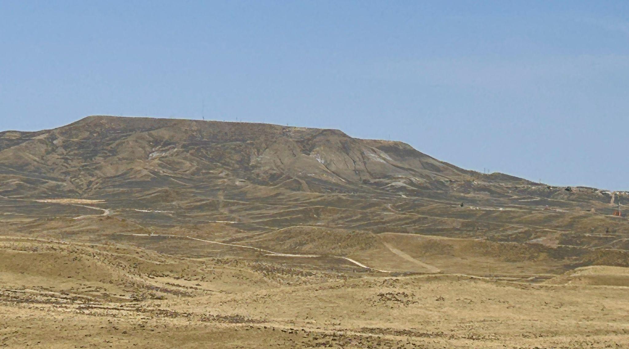
Elk Butte (elevation 6,246 feet) overlooks the Old Meeteetse Trail south of Cody
Settlers Arrive Via the Old Meeteetse-Red Lodge Trail
Between 1882 and 1889, the northern terminus of the Old Meeteetse Trail was at the Yellowstone River at Coulson, where a hotel and stage coach stop met steamboats coming up the Yellowstone River east of Billings. After the Northern Pacific Railroad reached Red Lodge in 1889, the trail ended at Red Lodge and the overland wagon route continued south from there. Some of Cody’s earliest settlers reached the area by disembarking from the rail terminus at Red Lodge, and then traveling by wagon south to the Cody area. For example, in 1898, Nels and Christine Nordquist traveled by train from Illinois to Red Lodge, then by horse and wagon to Cody. In early spring, the couple forded the high flows of the Shoshone River with wagon loads of farming equipment and household belongings. They made it safely across the river and then settled at Irma Flat on the South Fork.
By the turn of the century, the Old Meeteetse Trail had been continuously improved over the decades. The local section was then named the Cody-Meeteetse Road. In 1904, the Halfway Stage Stop was established as a wayside and water stop for horses halfway between Cobett’s Crossing and Meeteetse. It was a popular stopping point until faster automobile traffic became common after 1908.

A sign marking the site of the historic Halfway Stage Stop is at the Cody Heritage Museum
Exploring the Old Meeteetse Trail Today
Did you know you can still walk from the old Halfway Stage Stop to Cody entirely on public land? The 24-mile journey follows a patchwork of state and federal lands that generally trace the historic route between Meeteetse and Red Lodge.
The off-trail route crosses a sandstone ridge of juniper and sage above Dry Creek, then enters a quiet basin untouched by modern development. The old trail would have skirted around the steep sides of Elk Butte, but by climbing to the top today, hikers can view the entirety of the historic route between Cody and Meeteetse. Continuing north of Elk Butte, Marathon Oil drills can be seen all over the landscape in Oregon Basin, but the terrain remains peaceful and walkable and the BLM sections continue northward. Eventually, climb out of Oregon Basin on a beautiful section of state land and arrive in Cody from the south, along the public lands and trails south of the Cody Landfill.
By staying in public land boundaries, it’s possible to avoid the modern highway altogether and to experience historic Wyoming on the Old Meeteetse Trail as travelers once knew it.


Amy Hoffman
Curatorial Assistant
Cody Heritage Museum
The Cody Heritage Museum focuses on local Cody history -- and accepts family contributions of artifacts and objects that fit the areas of focus for the museum. Get in touch if you can contribute our growing collection.

